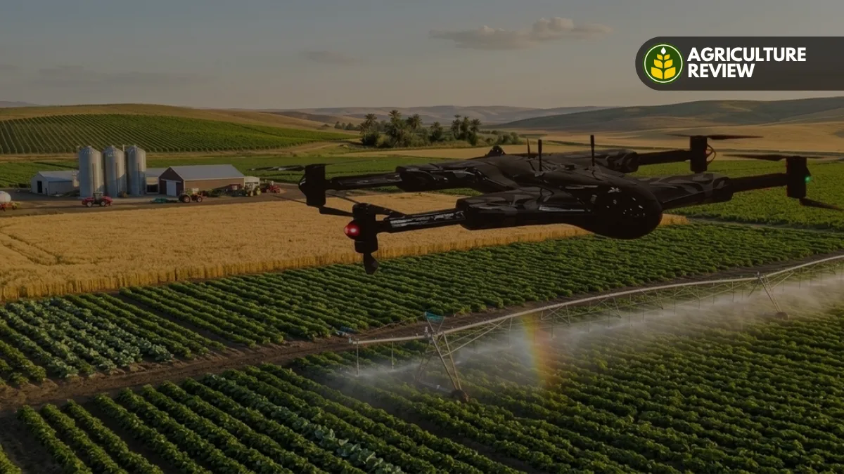

Farming is changing fast, and a big part of that change comes down to technology. Growers are constantly looking for ways to boost yields, cut down on waste, and get more out of the resources they already have. Drones have quietly become one of the more useful additions to that toolkit. They fly over fields, capture images, gather data, and give farmers a way to see what’s actually happening across their land without walking every row themselves. That value shows up most clearly on large or precision farms, where a quick piece of information can change how the whole week gets managed.
Field scouting the old-fashioned way walking the rows and checking plants by hand still matters, and it isn’t going anywhere. But it eats up time, and on a big enough property, it’s almost impossible to catch everything. This is where the Benefits of Using Drones and Their Role in Agriculture become especially clear. A drone can cross a field in minutes and provide a bird’s-eye view that makes uneven growth, thin patches, or unusual soil patterns much easier to spot. Instead of inspecting every inch on foot, farmers can zero in on the spots that actually need a closer look.
Table of Contents
How Drones Support Crop Monitoring
Crop monitoring is probably the single biggest reason drones caught on in agriculture in the first place. Fitted with high-resolution cameras, they can photograph a field in detail from above, which makes it a lot easier to catch plants that are lagging behind or growing differently than their neighbors. Fly the same route regularly, and those images start to tell a story over the season.
This matters more as fields get bigger. Standing at ground level, it’s genuinely hard to notice a pattern spread across dozens of acres you just can’t see it from down there. From the air, though, comparisons become obvious. Farmers can line sections up against each other and flag anything worth a second look, and if they keep flying on a schedule, they can track whether a trouble spot is getting better or worse over time.
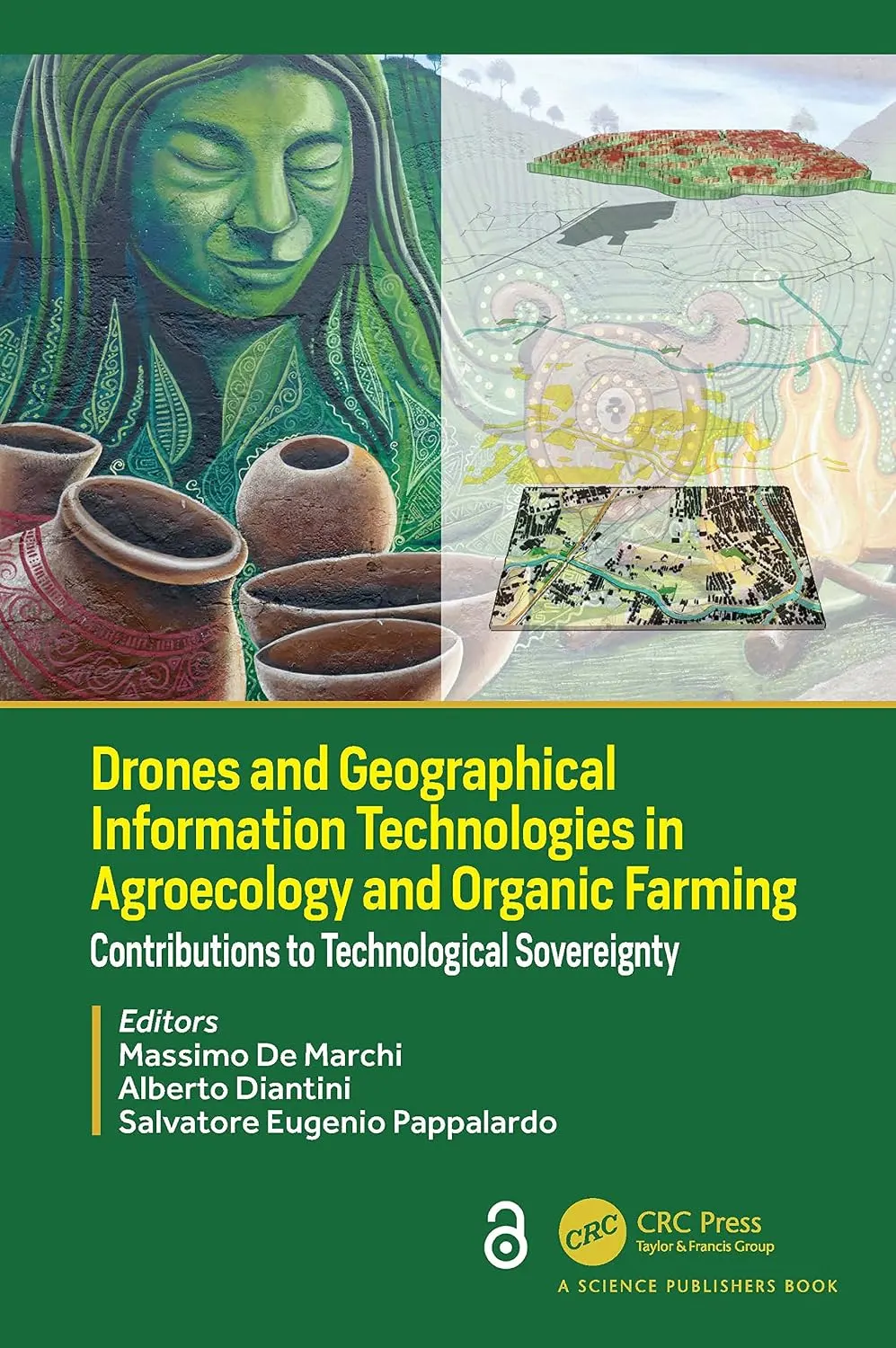
Drones and Geographical Information Technologies in Agroecology & Organic Farming
Discover how cutting-edge drone technology and GIS are revolutionizing modern organic farming. An essential resource for agronomists, students, and tech-forward farmers.
Check Price on Amazon →Early Identification of Crop Problems
Catching a problem early is often the difference between a quick fix and a real headache later on. Drones help here by picking up on irregularities in the field a patch of crops that just looks “off” compared to everything around it. That could point to water stress, pests, disease, a nutrient gap, or something else entirely.
It’s worth being clear about what drones aren’t doing: they’re not diagnosing anything on their own. Think of them more as a tripwire. Once the imagery flags something unusual, a farmer or agronomist still needs to walk out and check it in person before deciding what to do about it. Pairing aerial footage with boots-on-the-ground inspection is what actually makes scouting more efficient the drone just tells you where to look first.
Supporting Precision Agriculture
Precision agriculture is built on the idea that not every part of a field needs the same treatment. Some sections perform better than others, and managing them separately usually beats a one-size-fits-all approach. Drones fit naturally into that model because they collect the kind of spatial detail that makes those differences visible. Say part of a field is clearly growing differently from the rest a drone flight makes that jump out right away. From there, it’s up to the farmer to figure out why and whether it’s worth adjusting anything. Over a season or two, that kind of recurring aerial data builds into a much clearer picture of how variable a field really is, which feeds directly into better decisions down the line.
There’s also a resource angle here. Once farmers know roughly where the trouble spots are, they can put their inputs time, labor, product where they’re actually needed instead of spreading everything evenly across a field that doesn’t need it evenly.
Improving Irrigation Management
Water is another place where drones earn their keep. Patchy or uneven crop growth is frequently tied to moisture differences in drainage, irrigation coverage, or soil conditions that aren’t obvious from the ground. Aerial imagery can flag those areas so someone knows where to dig deeper.
Thermal cameras add another layer by picking up surface temperature differences across a field. Paired with the rest of a farm’s data, those readings can point toward possible water stress worth investigating. In places where every drop of irrigation water counts, that kind of early flag can be genuinely useful. None of this replaces an irrigation system or actual soil testing a drone won’t tell you exactly what’s wrong. What it does is narrow down where to look, so the follow-up work is more targeted instead of a guessing game.
Monitoring Crop Health With Advanced Sensors
Today’s agricultural drones carry more than just standard cameras. Depending on the setup, a farmer might attach a multispectral or thermal sensor, which picks up information that’s invisible to the naked eye.
Multispectral imagery, for instance, can reveal changes in plant vigor long before they’d be obvious in a regular photo giving farmers a heads-up on stress before it becomes visible on the ground. Thermal sensors add yet another dimension by mapping out temperature variation across the field. None of that data means much on its own, though. Someone still needs the right software, field experience, and often a trip out to confirm what the images are actually showing. Put those pieces together, and sensor-equipped drones turn into a genuinely powerful monitoring tool, but the technology alone isn’t the whole answer.
Reducing Time Spent on Field Scouting
Some farms stretch across hundreds, even thousands of acres, and there’s no realistic way to walk every part of that on foot in a reasonable timeframe. Drones cut down the time it takes just to get a general read on how a field is doing. Rather than trudging through every section, a farmer can fly a route, review the imagery, and decide exactly where a ground visit is worth the effort. That doesn’t eliminate field visits it just makes them count for more.
This time savings really shows its value during the busiest stretches of the growing season, when decisions need to happen fast. Having a current, accurate view of the field lets farmers prioritize what actually needs attention instead of guessing.
Supporting Sustainable Farming
Drones tie into sustainability too, in a fairly direct way. Efficient farming is about hitting strong yields without wasting resources, and the detail drones provide makes it easier to use water, fertilizer, crop protection products, fuel, and labor more deliberately. If an aerial pass turns up a localized issue, a farmer can often treat just that section instead of blanket-spraying or irrigating the whole field. That kind of targeted response cuts down on waste while still keeping the crop protected.
To be fair, the technology by itself doesn’t make a farm sustainable. It comes down to how the information gets used and how well it folds into the rest of the farm’s management. But drones give farmers the kind of detail that makes those more precise decisions possible in the first place.
Drones and Agricultural Spraying
Some drones are built specifically for spraying treating particular patches of a field or reaching spots that are awkward for standard equipment to get to. Done right, drone spraying can cut down on heavy machinery use and speed things up in certain situations. That said, it’s not a plug-and-play operation. It takes planning, the right equipment, trained operators, and staying within local regulations.
How well it works depends on a mix of factors: what’s actually needed, the weather that day, crop stage, product label requirements, and the shape of the field itself. It’s best treated as one tool within a broader management plan, not a stand-alone solution.
The Role of Drones in Farm Decision-Making
If there’s one thing drones do best, it’s giving farmers timely, current information to base decisions on. Farming already juggles a huge number of variables, and making calls based on stale or partial data tends to waste both time and money. Drone imagery gives farmers an up-to-date look at their fields and surfaces changes that might otherwise slip by unnoticed. Combine that with weather records, soil data, equipment logs, scouting notes, and other farm tech, and you end up with a much fuller picture to work from.
Collecting more data isn’t really the point, though. The point is turning that data into something useful. Farmers who go into drone flights with a clear purpose and who actually compare what they see in the air with what’s happening on the ground tend to get the most out of the technology.
Conclusion
Drones keep earning a bigger place in agriculture as farmers look for smarter ways to monitor crops, manage resources, and run their operations more efficiently. From spotting crop stress early and supporting precision agriculture, to checking on irrigation, deploying advanced sensors, and enabling targeted spraying, they’ve found a role in nearly every corner of modern farming.
Their real value comes down to this: they give farmers a detailed view of the field and help point them toward where attention is actually needed. Combined with ground scouting, agronomic know-how, and the rest of a farm’s technology stack, that view becomes a genuinely useful part of running a modern operation. As the tools keep improving, drones are only going to become a bigger part of helping farmers manage their land with more precision and confidence.