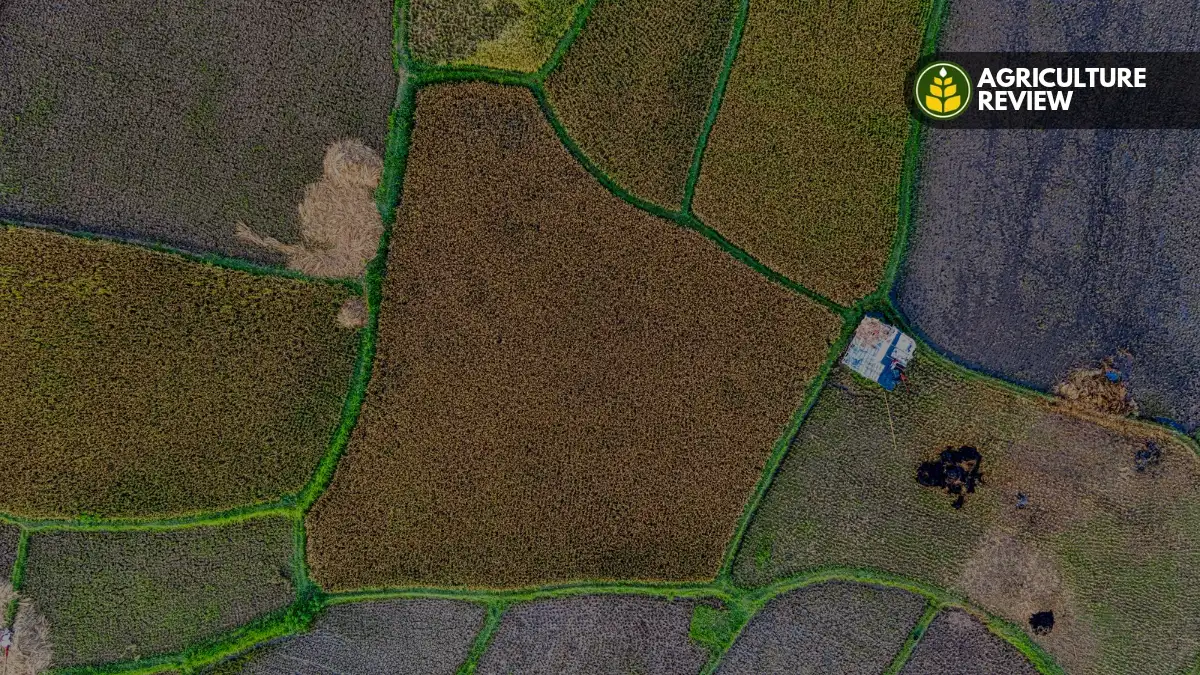

Use our free live GPS Land Area Calculator to measure farm, plot, and calculate field area accurately with the help of a satellite map. You can instantly convert between Acres, Hectares, Bigha, and Sq Ft.
Free GPS Land Area Calculator: Measure Field & Plot on Map
How to Use
-
1Search or Locate: Enter your village, city, or address in the search bar, or click the yellow “My Location” (GPS) button to jump straight to your field.
-
2Drop Your Points: Tap or click on the map to drop points around the corners of your property. You need at least 3 points to form a shape to calculate area.
-
3Adjust for Accuracy: Drag the yellow points if you need to fine-tune the boundaries over the satellite or street view or get a perfect shape.
-
4View Results: Your total area will instantly appear below the map in Square Meters. You can use the dropdown to convert it into local units like Acres, Hectares, Bigha, or Guntha.
Frequently Asked Questions (FAQs)
How accurate is GPS land measurement?
GPS land measurement using high-resolution satellite maps is highly accurate for general agricultural estimates and real estate purposes, and is usually precise within a few meters. However, for extreme pinpoint accuracy required for legal land disputes or official government registry, we recommend a professional physical survey.
What is a Bigha in square meters?
A standard Bigha is exactly 2529.28 square meters. However, the exact size of a Bigha varies significantly across different states.
Can I use this tool on my mobile phone?
Yes! This tool is 100% mobile-friendly. You can stand directly on your land, open this page on your smartphone, and use the GPS “My Location” button to map out your field accurately while walking your property’s perimeter.